Explore entries from James Cook’s Endeavour journal for June 1770, as the ship sailed up the east coast of Queensland, from Cape Palmerston to Endeavour River.
Images and transcripts kindly supplied by the National Library of Australia.
Transcripts
Saturday 30th Moderate breezes at SE and clear serene weather. In the PM the Boat returnd from hauling the sain having caught as many fish as came to a pound and a half a man. In the AM I sent her again to haul the Sain and some hands to gather greens while others were employ'd about the rigging, &Ca &Ca I likewise sent some of the young gentlemen to take a Plan of the harbour and went my self upon the hill which is over the south point to take a view of the Sea —
at this time it was low-water and I saw what gave me no small uneasiness which were a Number of Sand banks or shoals laying all along the coast, the innermost lay about 3 or 4 hardly a Miles from the Shore and the outermost extend off to sea as far as I could see with my glass. some just appeard above water —
The only hopes I have of getting clear of them is to the northward where there seems to be a passage for as the winds blowes constantly from the SE we shall find it difficult if not impractical, to return back to the southward besides the shoals to the Southward lay so near this shore that it is a wonder to me how we escaped them in coming here —
Friday 29th Wind and weather as yesterday and the Employment of the people the same Lieutenant Gore having been 4 or 5 Miles in the Country where he met with nothing remarkable. he saw the foot steps of Men and likewise those of 3 or 4 sorts of wild beasts but saw neither man nor beast. some others of our people who were out yesterday on the north side of the harbour River met with a place where the natives had just been as there fires we still burning, but they saw no body nor have we seen one sence we have been in Port —
In these excursions we found some Wild Yamms or Coccos growing in the swampy grounds and this afternoon I sent a party of men to gather some the tops we found made good greens and eat exceeding well when boild but the roots were so bad Acrid that few besides myself could eat them —
This night Mr Green and I observed an Emersion of Jupiter first Satellite which happen'd at 2h 58'.53" in the AM, the same Emersion happend at Greenwich according to calculation on the 30th at 5h..17'..43" in the PM; the difference is 14h..18'..50" equal to 1214°..42'..30" of Longitude which this place is west of Greenwich and its Latitude 15° 26' South.
In the AM I sent some hands up with a boat up the harbour River to haul the sain while the rest were employ'd about the rigging and sundry other duties —
Thursday, 28th Fresh breezes & Cloudy all hands employ'd as yesterday —
Wednesday 27th Winds at SE a fresh breeze and Clowdy weather. In the PM lashed 38 empty Butts under the ships bottom in order to float her off which proved ineffectual and therefore gave over all hopes of geting her off untill the next spring tides —
At day light got a consider weight of sundry articles from aft forward to ease the ship — the Armourers at work at the Forge repairing Iron work &Ca Carpenters caulking the Ship and stocking one of the spare anchors, Seamen employd filling water and overhauling the riging and I went in the Pinnace up the harbour and made several hauls with the Sain but caught only between 20 and 30 lb of fish which were given to the sick and such as were weak and ailing.
Tuesday 26th Fair weather winds a SE a fresh gale — At low-water in the PM the Carpenters finished under the larboard bow and every other place the tide would permit them to come at — Lashed some Casks under the Ships bows in order to help to float her and at High-water in the night Attempted to heave her off but could not she not being afloat partly owing to some of the Casks not holding that were lash'd under her —
In the AM employ'd geting more Casks ready for the same purpose — but I am much afraid that we shall not be able to float her now the tides are Takeing off —
Monday 25th At low-water in the PM while the Carpenters were busey in repairing the sheathing and plank under the larboard bow I got people to go under the ships bottom to examine all her larboard side she only being dry forward but abaft were 9 feet water, they found part of the sheathing off under the abreast of the Main mast about her floor heads and a part of one plank a little damaged.
there were three people who went down who all agree'd in the same story, the master was one who was positive that she had received no material damage besides the loss of the sheathing, this alone will be sufficient to let the worm into her bottom which may prove of bad concequence — however, we must run all resk for I know of no method to remedy this but by heaving the Ship her down which would be a work of emince labour & time, if not impractical in our present situation —
The Carpenters continued hard at work under her bottom untill put off by the tide in the eveng and the morning tide did not ebb out far enough to permit them to work for here we have only one tolerable low and high tide in 24 hours —
In the AM a party of men were empd ashore filling water while others were employ'd in overhauling the rigging —
Sunday 24th Winds and weather as yesterday —
In the PM the Carpenters finish'd the Starboard side and at 9 oClock heel'd the Ship the other way and hauld her off about 2 feet for fear of neeping In the AM they went to work upon repairing the sheathing under the larboard bow — where we found two planks cut about half thro' —
early in the morning I sent a party of men into the Country under the direction of Mr Gore to seek for refreshments they returnd about noon with a few Palm Cabbages and a Bunch or 2 of wild Plantains. these last were much smaller than any I had ever seen and the Pulp full of small stones otherwise they were well taisted.
I saw my self this morning a little way from the ship one of the Animals before spoke off, it was of a light Mouse colour and the full size of a grey hound and shaped in every respect like one with a long tail which it carried like a grey hound in short I should have taken it for a wolf or wild dog, but for its walking or runing in which it jump'd like a Hare or a dear another of them was seen to day by some of our people who saw the first, they describe them as having very small legs and the print of the foot like that of a goat but this I could not see my self because the ground the one I saw was upon was too hard and the length of the grass hinderd my seeing its legs —
Saturday 23rd Winds south easterly a fresh gale and fair weather — Carpenters empd shifting the damaged Planks as long as the tide would permit them to work — At low water in the PM we examined her starboard side the Ships bottom under the starboard side she being dry as far aft as the after part of the fore chains We could not find that she had received any other damage on this side but what has been mentioned —
In the morning I sent 3 Men into the Country to shoot Pigeons, as some few of these birds had been seen flying about, in the evening they returnd with about ½ a dozen; one of the men saw an Animal of the Deer kind something less than a grey hound. it was of a Mouse Colour very slender made and swift of foot
In the AM I sent a boat to haul the saine who return'd at Noon having made three hauls and caught only three fish, and yet we see them plenty of jumping about the harbour but can find no method of catching them
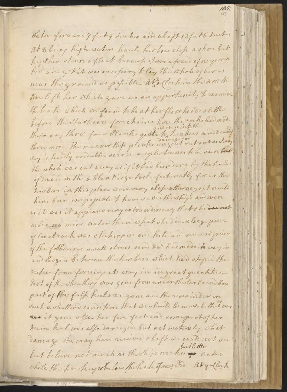
Friday 22nd. Winds at SE fair weather. At 4 In the PM having got out most of the Coals, cast loose the moorings and warped the Ship a little higher up the harbour to a place I had pitched upon to lay a Shore for stoping the leak, her draught of Water forward 7 feet 9 Inches and abaft 13 feet 6 Inches At 8 being high water hauld her bow close a shore but kept her stern a float because I was afraid of neeping her and yet it was necessary to lay the whole of her as near the ground as possible —
At 2 oClock in the AM the tide left her which gave us an oppertunity to examine the leak which we found to be at her floor heads a little before the Starboard fore chains — here the rocks had made their way thro' four Planks, quite to and even into the timbers and wound'd three more. the manner these planks were damaged or cut out as I may say is hardly credable — scarce a splinter was to be seen, but the whole was cut away as if it had been done by the hands of Man with a blunt edge tool —
fortunately for us the timbers in this place were very close other wise it would have been impossible to have saved the ship and even as it was it appear'd very extraordinary that she did not made no more water than what she did —
A large piece of Coral rock was sticking in one hole and several pieces of the fothering, small stones, sand &Ca had made its way in and lodged between the timbers which had stoped the water from forceing its way in in great quantities —
Part of the sheathing was gone from under the larboard bow part of the false keel was gone and the remainder in such a shatter'd condition that we should be much better of, was was it gone also — her fore foot and some part of her Main keel was also damaged but not materialy what damage she may have received abaft we could not see but beleive not much as the Ship makes no but little water while the Tide keeps below the leak forward —
At 9 oClock the Carpenters went to work upon the Ship while the Smiths were busy makeing bolts nails &Ca —
Thursday 21st In the PM landed the Powder, got out the stone ballast wood, &Ca which brought the Ships draught of water to 8F..10I forward and 13 feet abaft this I thought by triming the Coals aft wou'd be sufficient as I find the tides will rise and fall upon a perpendicular 8 feet at spring tides, but after the coals was trim'd away from over the leak we could hear the water come gushing in a little abaft the fore mast & about 3 feet from her keel this determined me to clear the hold intirely Accordingly very early in the morning we went to work to get out the Coals which was employment for all hands
Wednesday 20th Winds at SE a fresh breeze. fore & Middle parts rainy, the latter fair — This day got out all the officers stores and the ground tier of water having now nothing in the Fore and Main hold but the Coals and a little stone ballast —
Tuesday 19th Fresh gales at SE and clowdy weather with frequent showers of rain. In the PM landed all the provisions and part of the stores — got the sick a Shore which amounted at this time to 8 or 9 afflicted with different disorders but none very dangerously ill —
This afternoon I went upon one of the highest hill over the harbour from which I had a perfect View of the inlet or River and adjacent country which afforded but a very indifferent prospect — the low lands near the harbour River is all over run with mangroves among which the salt water flowes every tide and the high land appear'd to be barren and stoney —
In the AM got the 4 remaining guns out of the hold and Mounted them on the quarter deck — got a spare anchor and anchor stock a shore and the remaining part of the stores and ballast that were in the hold — Set up the smiths forge and set the Armourer and his mate to work to make nails &Ca to repair the Ship —
Monday 18th Fresh gales and clowdy with showers of rain. At 1 PM the Ship floated and we warped her into the harbour and moor'd her along side of a Steep beach on the south side. Got the anchors Cables and All the Hawsers a shore —
In the AM made a stage from the Ship to the shore — errected two tents one for the Sick and the other for the Stores and Provisions — landed all the empty casks and part of the Provisions — and sent a boat to haul the sene who return'd without success —
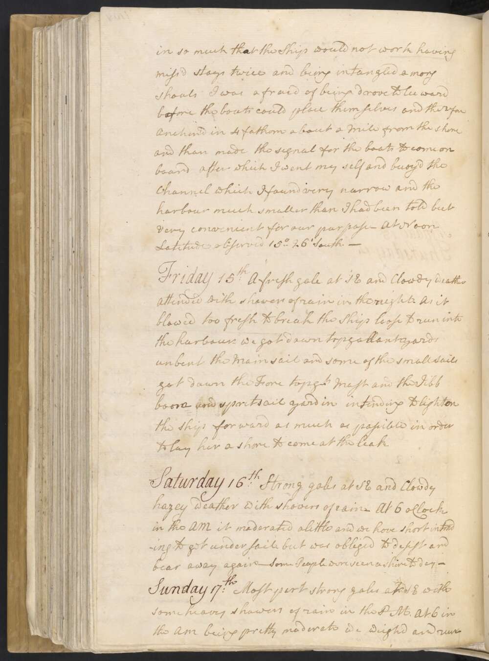
Sunday 17th Most part strong gales at SE with some heavy showers of rain in the PM. At 6 in the AM being pretty moderate we weigh'd and run in to the Harbour in doing of which we run the Ship a shore twice the first time she went off without any trouble but the second time She stuck fast, but this was of no concequence any farther then giving us a little trouble and was no no more than what I expected as we had the wind —
While the Ship lay fast we got down the fore yard Fore topmast booms &Ca over board and made a raft of them along side —
Saturday 16th Strong gales at SE and Clowdy hazey weather with showers of rain. At 6 oClock in the AM it moderated a little and we hove short intending to get under sail, but was obliged to desist and bear away again. Some People were seen ashore to day.
Friday 15th A fresh gale at SE and Clowdy weather attended with showers of rain in the night. As it blowed too fresh to break the Ship loose to run into the harbour we got down topgallant yards, unbent the Main sail and some of the small Sails, got down the Fore topgt Mast and the Jibb boom and spritsail yard in, intending to lighten the Ship forward as much as possible in order to lay her ashore to come at the leak.
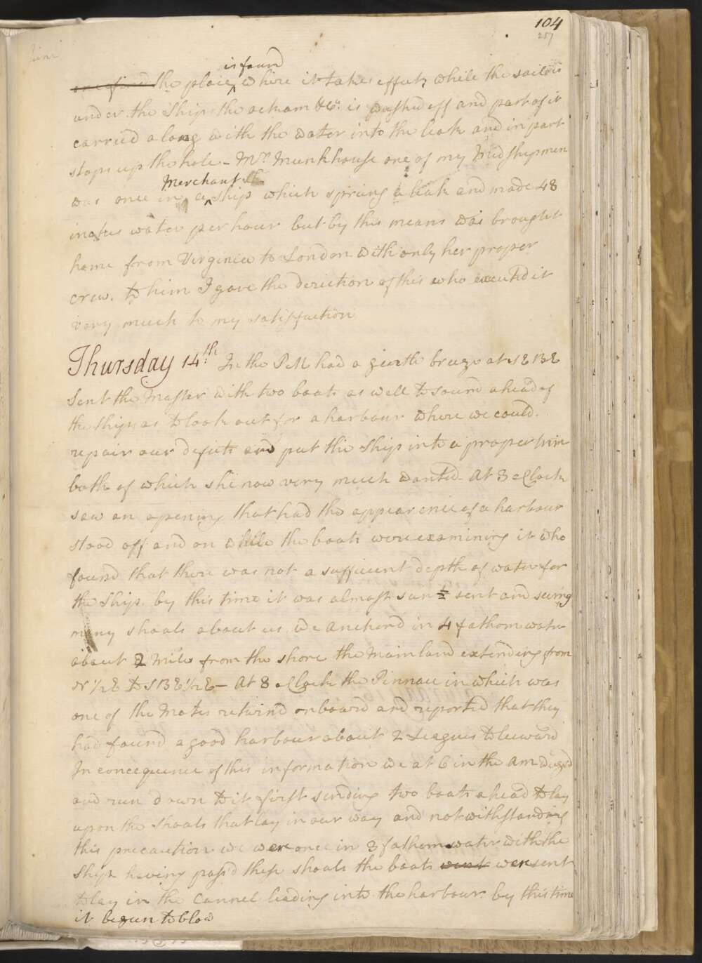
Thursday 14th In the PM had a gentle breeze at SEBE Sent the Master with two boats as well to sound ahead of the Ship as to look out for a harbour where we could repair our defects and put the Ship into a proper trim both of which she now very much wanted — At 3 oClock saw an opening that had the appearance of a harbour
Stood off and on while the boats were examining it who found that there was not a sufficient depth of water for the Ship, by this time it was almost sunt set and seeing many shoals about us, we anchor'd in 4 fathom water about 3 2 Miles from the shore the Mainland extending from N ½ E to SBE ½ E —
At 8 oClock the Pinnace in which was one of the Mates return'd on board and reported that they had found a good harbour about 2 Leagues to leeward In consequence of this information we at 6 in the AM weighd and run down to it first sending two boats ahead to lay upon the Shoals that lay in our way and notwithstanding this precaution we wasere once in 3 fathom water with the Ship; having pass'd these shoals the boats went were sent to lay in the Cannel leading into the harbour.
by this time it begun to blow in so much that the Ship would not work having miss'd stays twice, and being entangled among shoals I was afraid of being drove to leeward before the boats could place themselves, and therefore Anchor'd in 4 fathom about a Mile from the shore and than made the signal for the boats to come on board, after which I went my self and buoy'd the Channel which I found very narrow and the harbour much smaller than I had been told but very convenient for our purpose. At Noon Latitude observed 15° 26' South
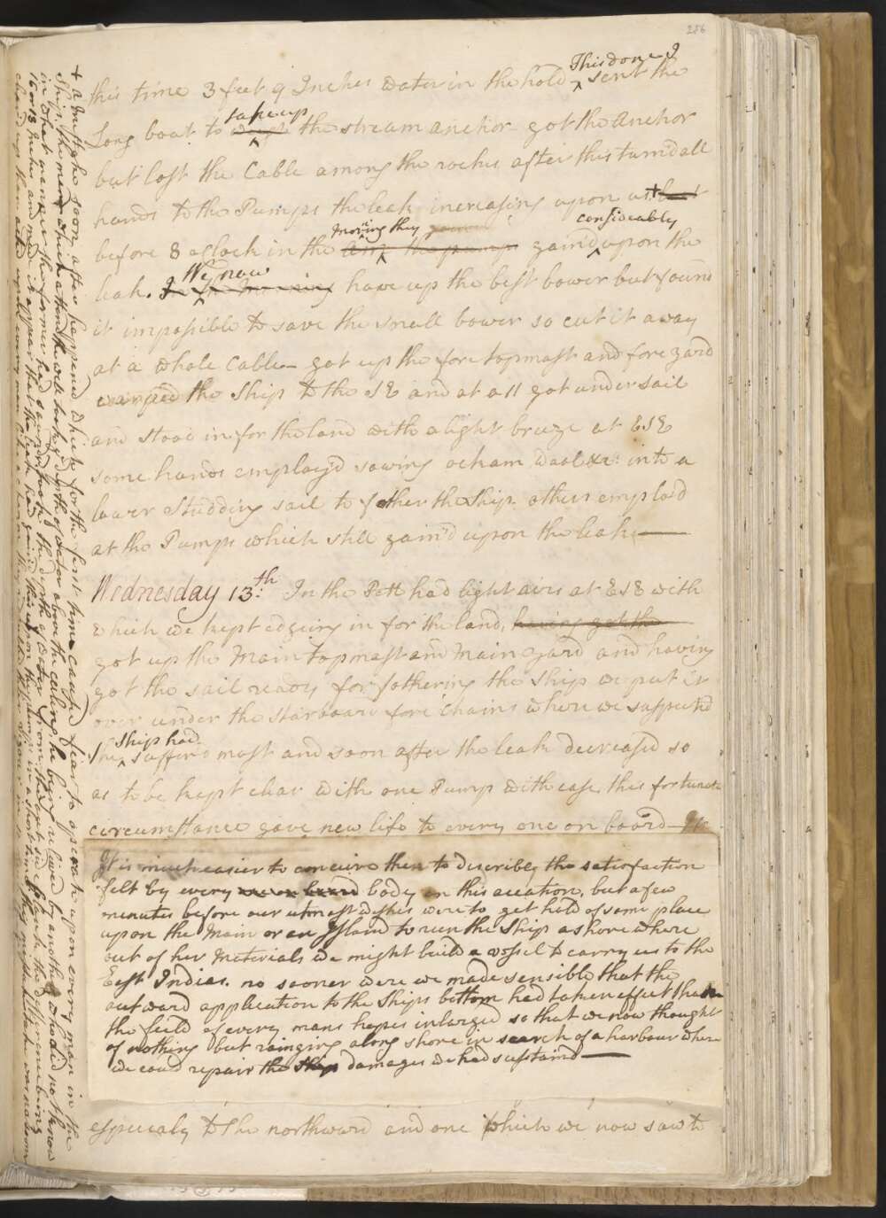
Wednesday 13th In the PM had light airs at ESE with which we kept edgeing in for the land, having got the got up the Main topmast and Main yard and having got the sail ready for fothering the Ship we put it over under the Starboard fore chains where we suspected the Ship had sufferd most and soon after the leak decreased so as to be kept clear with one Pump with ease, this fortunate circumstance gave new life to every one on board —
It is much easier to conceive than to discribe the satisfaction felt by every one on board body on this occasion, but a few minutes before our utmost wishes were to get hold of some place upon the Main or an Island to run the Ship ashore where out of her Materials we might build a vessel to carry us to the East Indias. no sooner were we made sensible that the outward application to the Ships bottom had taken effect thatn the feild of every mans hopes inlarged so that we now thought of nothing but rainging along shore in search of a harbour where we could repair the Ship damages we had susstaind —
In justice to the Ships Company I must say that no men ever behaved better than they have done on this occasion animated by the beheavour of every gentleman on board every man seem'd to have a just sence of the danger we were in and exerted himself self to the very utmost —
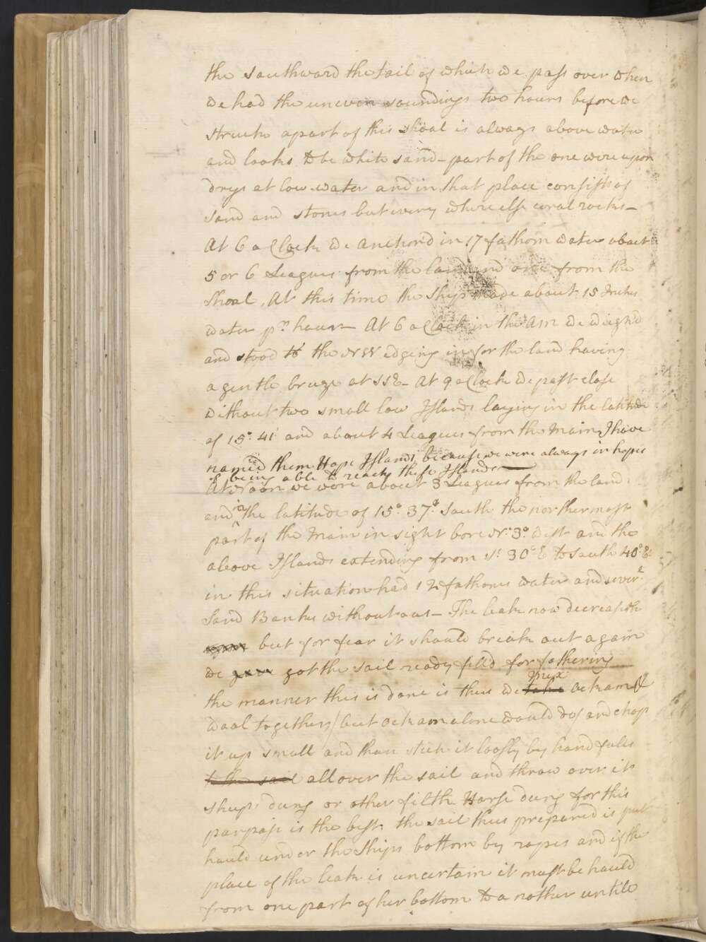
The Ledge of rocks or Shoal we have been upon lies in the Latde of 15°.45' and about 6 or 7 Leagues from the Main land, but this is not the only shoal that lay upon this part of the Coast especialy to the northward and one which we now saw to the Southward the tail of which we passed over when we had the uneven soundings two hours before we Struck apart of this shoal is always above water and looks to be white sand — part of the one were upon was drys at low-water and in that place consists of Sand and stones but every where else coral rocks —
At 6 oClock we Anchor'd in 17 fathom water about 5 or 6 Leagues from the land and one from the Shoal, At this time the Ship made about 15 Inches water pr hour — At 6 oClock in the AM we weigh'd and stood to the NW edging in for the land having a gentle breeze at SSE — At 9 oClock we past close without two small low Islands laying in the latitude of 15°.41' and about 4 Leagues from the Main I have named them Hope Islands because we were always in hopes of being able to reach these Islands —
At Noon we were about 3 Leagues from the land and in the latitude of 15°.37' South the northermost part of the Main in sight bore N. 30° west and the above Islands extending from So 30° E to South 40° Et in this situation had 12 fathoms water and severl Sand Banks without us — The leak now decreaseth upon but for fear it should break out again we gave got the Sail ready fill'd for fothering the manner this is done is thus, we take Mix ockam & wool together, / but okam alone would do / and chop it up small and then stick it loosly by hand fulls to the sail all over the sail and throw over it sheeps dung or other filth. Horse dung for this purpose is the best; the sail thus prepared is put hauld under the Ships bottom by ropes and if the place of the leak is uncertain it must be hauld from one part of her bottom to a nother untill one find the place is found where it takes effect; while the sail is under the Ship the ockam &Ca is washed off and part of it carried along with the water into the leak and in part stops up the hole —
Mr Munkhouse one of my Midshipmen was once in a Merchant Sh Ship which sprung a leak and made 48 Inches water per hour but by this means was brought home from Virginia to London with only her proper crew, to him I gave the deriction of this, who exicuted it very much to my satisfaction
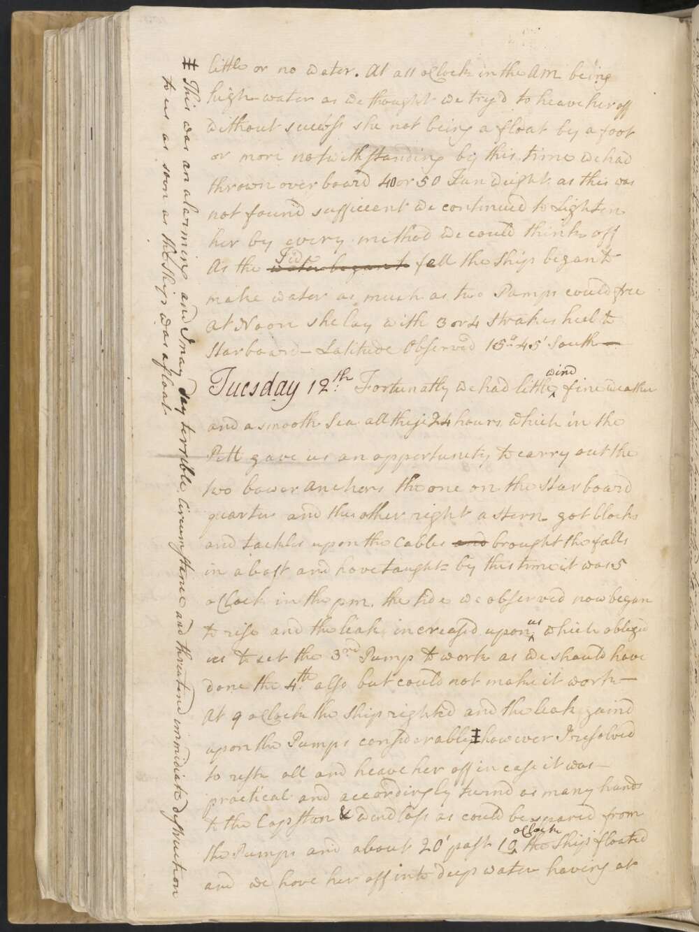
Tuesday 12th Fortunatly we had little wind fine weather and a smooth Sea all these 24 hours, which in the PM gave us an oppertunity to carry out the two bower Anchors the one on the Starboard quarter and the other right a stern — got blocks and tackles upon the Cables and brought the falls in a baft and hove taught — by this time it was 5 oClock in the PM, the tide we observed now begun to rise, and the leak increased upon us which obliged us to set the 3rd Pump to work as we should have done the 4th also but could not make it work —
At 9 oClock the Ship righted and the leak gaind upon the Pumps considerably‡ however I resolv'd to resk all and heave her off in case it was — practical and accordingly turnd as many hands to the Capstan & windlass as could be spared from the Pumps and about 20' past 10 oClock the Ship floated and we hove her into deep water having at this time 3 feet 9 Inches water in the hold —
This done I sent the Long boat to weigh take up the stream anchor — got the Anchor but lost the Cable among the rocks, after this turn'd all hands to the Pumps the leak increasing upon us.† but before 8 oClock in the AM Morning they the pumps gain'd considerably upon the leak. In the Morning We now hove up the best bower but found it impossible to save the small bower so cut it away at a whole Cable — got up the fore topmast and fore yard warped the Ship to the SE and at a 11 got under Sail and Stood in for the land with a light breeze at ESE some hands employ'd sewing ockam wool &Ca into a lower Studding sail to fother the Ship. others emplo'd at the Pumps which still gain'd upon the leak —
‡This was an alarming and I may dsay terrible, circumstance and threatend immidiate destruction to us as soon as the Ship was afloat
† A Mistake soon after happened which for the first time caused fear to operate upon every man in the Ship, the man which attend the well took ye depth of water above the ceiling, he being relieved by another who did not know in what manner the former had sounded, took the depth of water from the out side plank the difference being 16 or 18 Inches and made it appear that the leak had gain'd this upon the pumps in a short time; this mistake was no sooner clear'd up than acted upon every man like a charm, they redoubled their Vigour in so much that
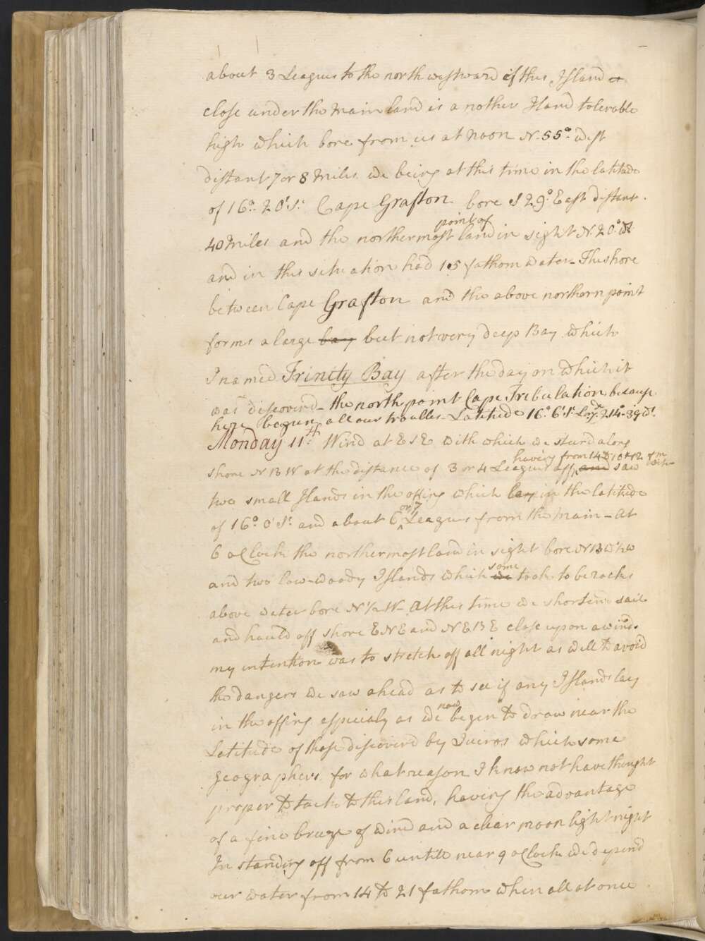
Monday 11th Wind at ESE with which we steer'd along shore NBW at the distance of 3 or 4 Leagues off having from 14 to 10 & 12 fm water — and saw two small Islands in the offing which lay in the latitude of 16° 0' So and about 6 or 7 Leagues from the Main — At 6 oClock the northermost land in sight bore NB ½ W and two low woody Islands which we some took to be rocks above water bore N ½ W —
At this time we shortend sail and hauld off shore ENE and NEBE close upon a wind. my intention was to stretch off all night as well to avoid the dangers we saw ahead as to see if any Islands lay in the offing, especialy as we now begun to draw near the Latitude of those discover'd by Quiros which some geographers, for what reason I know not have thought proper to tack to this land, having the advantage of a fine breeze of wind and a clear moon light night in standing off from 6 untill near 9 oClock we deepen'd our water from 14 to 21 fathom when all at once we fell into 12, 10 and 8 fathom
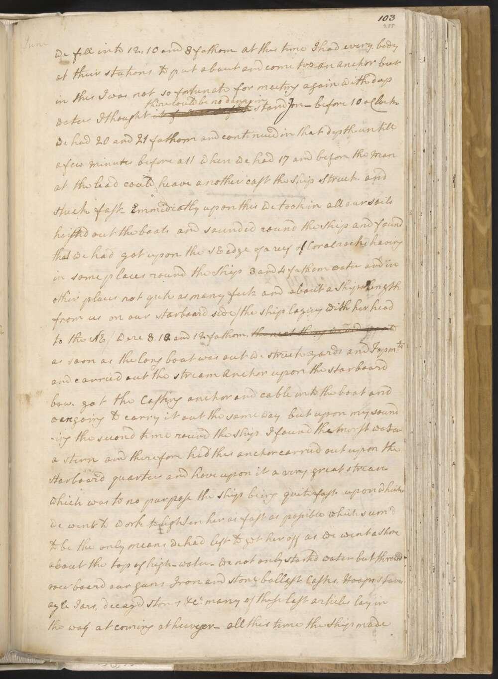
At this time I had every body at their stations to put about and come too an anchor but in this I was not so fortunate for meeting again with deep water I thought it there could be no danger in standg on — before 10 oClock we had 20 and 21 fathom and continued in that depth untill a few Minutes before a 11 when we had 17 and before the Man at the lead could heave another cast the Ship Struck and stuck fast —
Emmediatly upon this we took in all our sails hoisted out the boats and sounded round the Ship and found that we had got upon the SE edge of a reef of Coral rocks having in some places round the Ship 3 and 4 fathom water and in other places not quite as many feet — and about a Ships length from us on our Starboard side / the Ship laying with her head to the NE / were 8, 120 and 12 fathom, the next thing we did was to as soon as the long boat was out we struck yards and Topm:ts and carried out the stream Anchor upon the starboard bow. got the Casting anchor and cable into the boat and were going to carry it out the same way, but upon my sounding the second time round the Ship I found the most water a stern and therefore had this anchor carried out upon the Starboard quarter and hove upon it a very great strean which was to no purpose the Ship being quite fast upon which we went to work to lighten her as fast as possible which seem'd to be the only means we had left to get her off as we went a Shore about the top of High-water —
we not only started water but threw'd over board our guns Iron and stone ballast, Casks, Hoops staves oyle Jars, decay'd stores &Ca many of these last articles lay in the way at coming at heavyer — all this time the Ship made little or no water. At a 11 oClock in the AM being high-water as we thought we try'd to heave her off without success she not being a float by a foot or more notwithstanding by this time we had thrown over board 40 or 50 Tun weight, as this was not found sufficient we continued to Lighten her by every method we could think off As the water began to Tide faell the ship began to make water as much as two Pumps could free At Noon she lay with 3 or 4 Strakes heel to Starboard — Latitude Observed 15°..45' South —
Sunday 10th After hauling round Cape Grafton we found the land trend away NWBW. Three Miles to the Westward of the Cape is a Bay wherein we anchord about 2 Miles from the shore in 4 fathom water an owsey bottom. the East point of the bay bore So 74° East and the west point So 83° West and a low green woody Island laying in the offing bore N 35° East — this Island lies NBE ½ E distant 3 or 4 Legs from Cape Grafton — and is known in the Chart by the name of Green Island
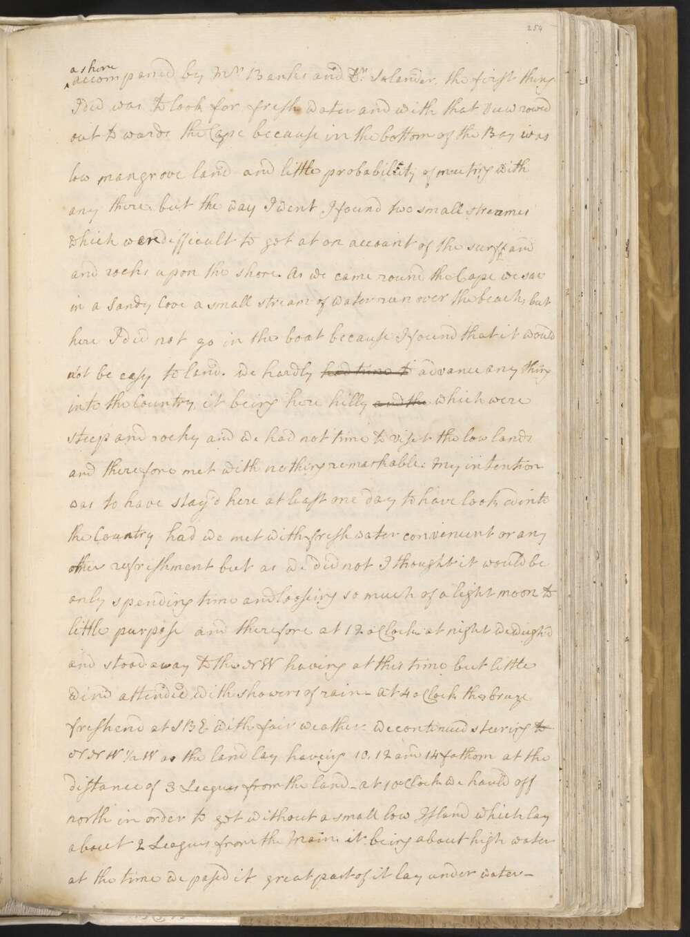
As soon as the Ship was brought to an Anchor I went ashore accompaned by Mr Banks and Dr Solander, the first thing I did was to look for fresh water and with that View rowed out to wards the Cape because in the bottom of the Bay was low mangrove land and little probability of meeting with any there: but the way I went I found two small streames which wasere difficult to get at on account of the surff and and rocks upon the shore. As we came round the Cape we saw in a Sandy Cove a small stream of water run over the beach; but here I did not go in the boat because I found that it would not be easy to land.
We hardly had time to advance any thing into the Country, it being here hilly and the which were steep and rocky and we had not time to viset the low lands and therefore met with nothing remarkable: My intention was to have stay'd here at least one day to have looked into the Country had we met with fresh water convenient or any other refreshment but as we did not I thought it would be only spending time and looseing so much of a light moon to little purpose and therefore at 12 oClock at night we weigh'd and stood away to the NW having at this time but little wind attended with showers of rain —
At 4 oClock the breeze freshend at SBE with fair weather — We continued steering TO NNW ½ W as the land lay haveing 10, 12 and 14 fathom at the distance of 3 Leagues from the land — At 10 oClock we hauld off north in order to get without a small low Island which lay about 2 Leagues from the Main, it being about high water at the time we passd it great part of it lay under water —
About 3 Leagues to the north westward of this Island it close under the Main land is a nother Island tolerable high which bore from us at Noon N. 55° west distant 7 or 8 Miles, we being at this time in the latitude of 16°..20' So Cape Grafton bore S 29° East distant 40 Miles and the northermost point of land in sight N 20° Wt and in this situation had 15 fathom water —
The shore between Cape Grafton and the above northern point forms a large bay but not very deep Bay which I named Trinity Bay after the day on which it was discoverd — the north point Cape Tribulation, because here begun all our troubles. Latitude 16°..6' So Longde 214°..39' Wt.
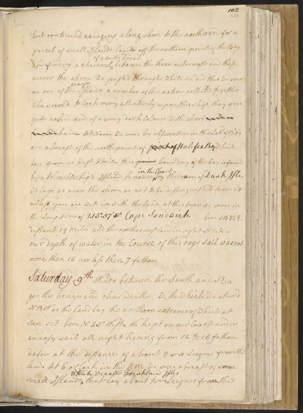
Saturday 9th Winds between the South and SE a gentle breeze and clear weather, with which we steer'd NBW as the land lay the northern extreme of which at sun set bore N. 25° West. We kept on our Course under an easy sail all night having from 12 to 15 fathom water at the distant of about 3 or 4 Leagues from the land.
At 6 oClock in the AM we were abreast of some small Islands which we called Frankland Isles that lay about 2 Leagues from the main land the northern point of which in sight bore NBW ½ W but this we afterwards found to be an Island tolerable high and about 4 Miles in circuit, it lies about 2 Miles from the point on the Main, between which we went with the Ship and wasere in the Middle of the Channel at Noon and by observation in the Latitude of 16°..55', where we had 20 fathoms water Course and distance Saild since Yesterday at Noon is N West dist Miles.
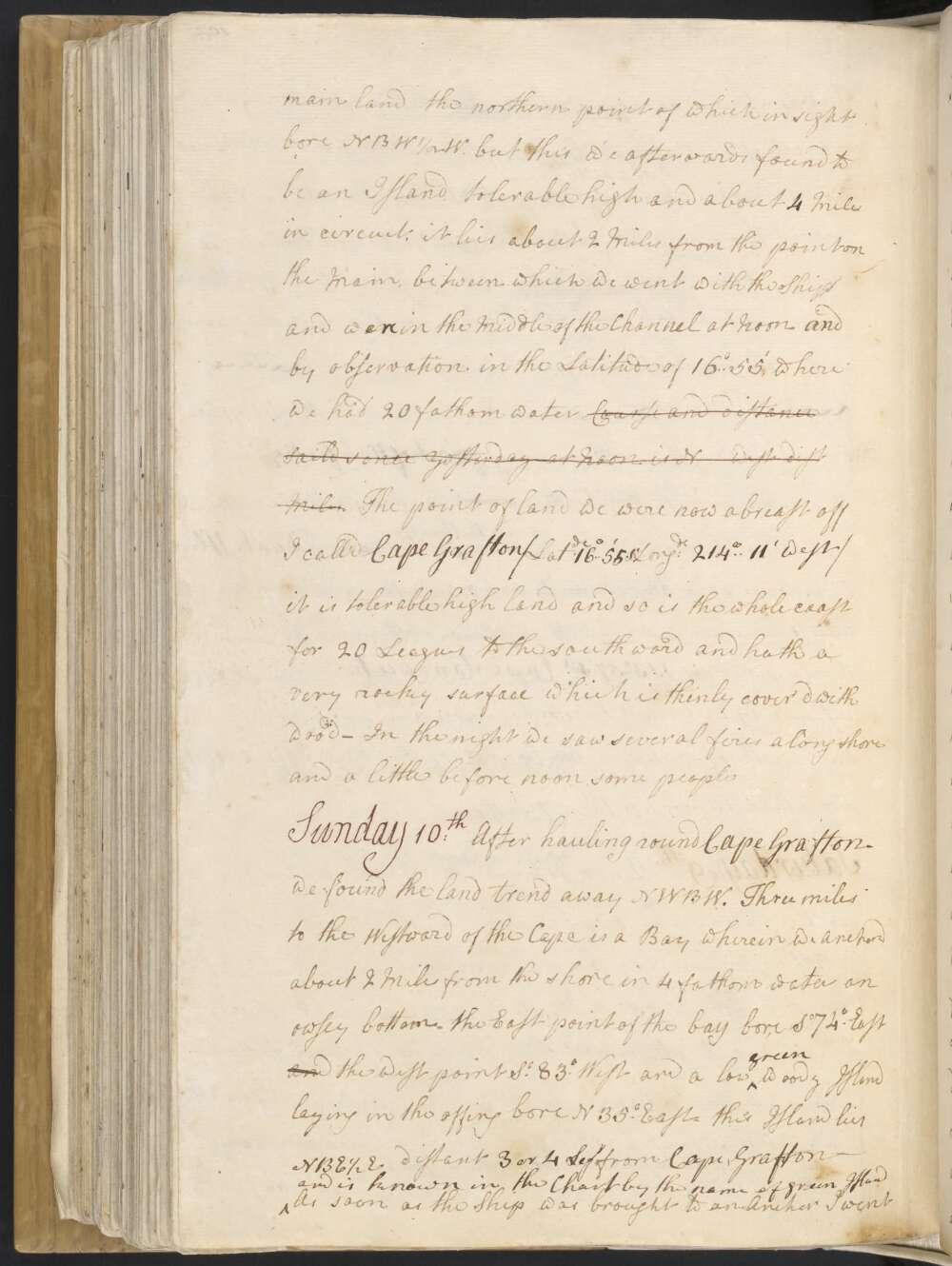
The point of land we were now abreast off I call'd Cape Grafton / Latde 16°..55' So Longde 214° 11' west / it is tolerable high land and so is the whole coast for 20 Leagues to the southward and hath a very rocky surface which is thinly cover'd with wood — In the night we saw several fires along shore and a little before noon some people
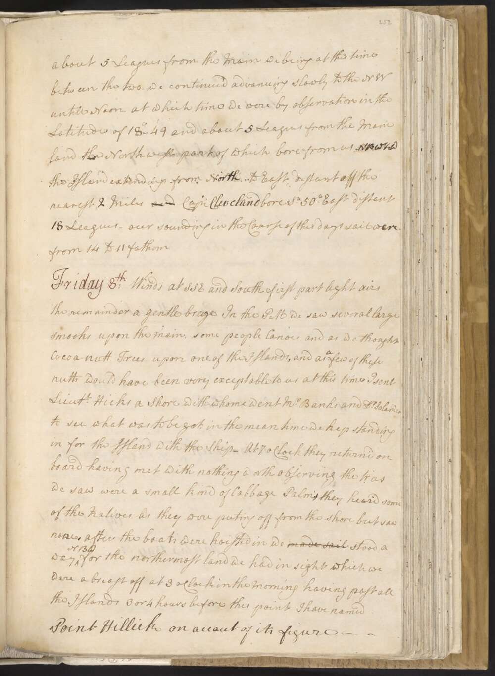
Friday 8th Winds at SSE and South first part light airs the remainder a gentle breeze In the PM we saw several large smooks upon the main, some people Canoes, and as we thought Cocoa-nutt Trees upon one of the Islands, and as a few of these nutts would have been very acceptable to us at this Time I sent Lieutt Hicks a Shore with whome went Mr Banks and Dr Solander to see what was to be got, in the mean time we kep standing in for the Island with the Ship —
At 7 oClock they returnd on board having met with nothing worth observing the trees we saw were a small kind of Cabbage Palms, they heard some of the Natives as they were puting off from the shore but saw none. After the boats were hoisted in we made sail stood away NBW for the northermost land we had in sight which we were abreast off at 3 oClock in the Morning having passed all the Islands 3 or 4 hours before; this point I have named Point Hillick on accout of its Figure —
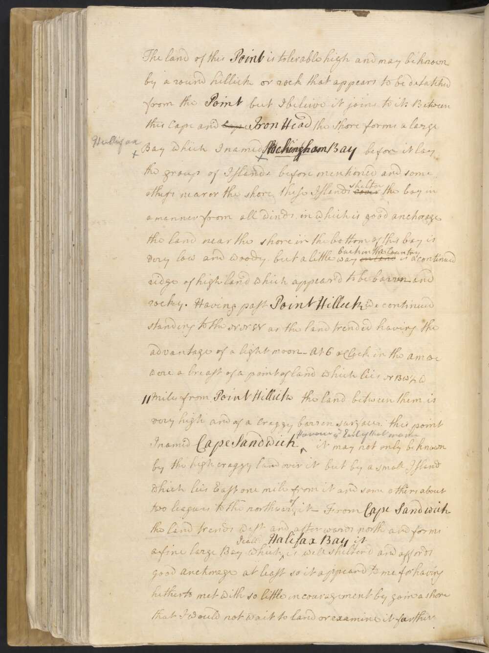
The Land of this Point is tolerable high and may be known by a round hillick or rock that appears to be detatched from the Point but I beleive it joins to it. Between this Cape and Cape Iron Head the Shore forms a large Bay which I named Rockingham Bay before it lay the group of Islands before mentioned and some others nearer the shore. These Islands cover shelter the bay in a manner from all winds, in which is good anchorage the land near the shore in the bottom of this bay is very low and woody, but a little way in land back in the Country is a continued ridge of high land which appear'd to be barren and rocky.
Having passed Point Hillick we continued standing to the NNW as the land trended having the advantage of a light moon — At 6 oClock in the AM we were a breast of a point of Land which lies NBW ½ W 11 Miles from Point Hillick the Land between them is very high and of a craggy barren surface this point I named Cape Sandwich Honour ye Earl of that name it may not only be known by the high craggy land over it but by a small Island which lies East one mile from it and some others about two leagues to the northward of it —
From Cape Sandwich the land trends west and afterwards north and forms a fine large Bay which I call'd Halifax Bay it is well shelterd and affords good anchorage, at least so it appeard to me, for having hitherto met with so little incouragement by goin a Shore that I would not wait to land or examine it faurther but continued rainging along shore to the northward for a parcel of small Islands laying off the northern point of the Bay and finding a channel of a Mile broad between the three outermost and those nearer the shore we pushed through — while we did this we saw on one of the nearest Islands a number of the natives collicted together who seem'd to look very attentively upon the ship. they were quite naked and of a very dark Colour with short curled or frizled hair —
At noon we were by observation in the Latde of 17°..59' and a breast of the north point of point of Halifax Bay which bore from us west 2 Miles, this boundry of the bay is form'd by a tolerable high Island known in the Chart by the name of Dunk Isle it lays so near the shore as not to be distinguished from it unless you are well in with the land — at this time we were in the Longitude of 213°..57' Wt Cape Sandwich bore SBE ½ E distant 19 Miles and the northermost land in sight N ½ W — our depth of water in the Course of this days sail was not more then 16 nor less then 7 fathom
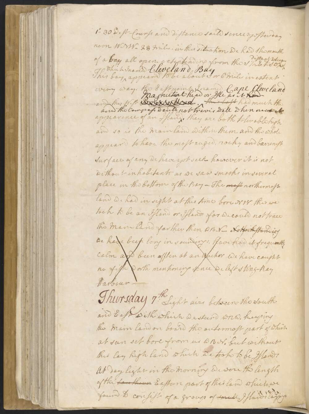
Thursday 7th Light Airs between the South and East with which we steerd WNW. keeping the Main land on board the outermost part of which at sun set bore from us WBN, but without this lay high land which we took to be Islands
At day light in the Morning we were the length of the Southern Eastern part of this land which we found to consist of a group of small Islands laying about 5 Leagues from the Main we being at this time between the two, we continued advanceing slowly to the NW untill Noon at which time we were by observation in the Latitude of 18°..49' and about 5 Leagues from the Main land the North west part of which bore from us NBW ½ W the Island extending from North to East distant off the nearest 2 Miles and Cape Cleveland bore So 50° East distant 18 Leagues — our soundings in the Course of this days sail was were from 14 to 11 fathom.
Wednesday 6th Light airs at ESE with which we steer'd WNW as the Land now lay depth of water 12 & 14 fathoms At Noon we were by Observation in the Latitude of 19°..1' Longitude made from Cape Gloucester 1°..30' west Course and distant saild sence yesterday noon WNW 28 Miles. in this situation we had the mouth of a bay all open extending from the S ½ E to SW ½ S distant 2 Leagues
This bay which I named Cleveland Bay appear'd to be about 5 or 6 Miles in extent every way. the East point I named Cape Cleveland and the West Barren Head. Magnetical head or Isle as it had had much the appearence of an Island and the Compass did not travis well when near it. they are both tolerable high and so is the Mainland within them and the whole appear'd to have the most ruged, rocky and barren Surface of any we have yet seen however it is not without inhabitants as we saw smooks in several place in the bottom of the Bay —
The most northermost land we had in sight at this time bore NW, this we took to be an Island or Islands for we could not trace the Main land farther than WBN — Notwithstanding we have been long in soundings, have had it frequently calm and been often at an Anchor We have caught no fish worth mentioning sence we left Sting-Ray Harbour —
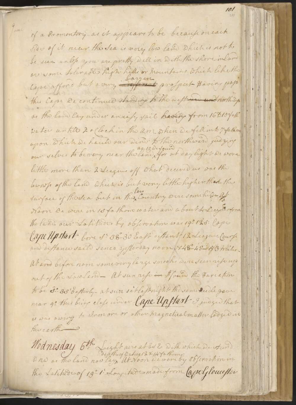
Tuesday 5th Winds between the South and East a very gentle breeze and serene weather At 6 oClock AM we were abreast of the western point of land above mentioned / distant from it 3 Miles / which I have named Cape Upstart because being surrounded with low land it starts or riseth up singley at the first making of it / Latitude 19°..39' Longde 212°..32' Wt / it lies west-north-west 14 Leagues from Cape Gloucester — and is of a height sufficent to be seen 112 Leagues, but it is not so much of a Promontory as it appears to be because on each side of it near the Sea is very low land which is not to be seen unless you are pretty well in with the shore, inland are some tolerable high hills or Mountains which like the Cape afford but a very different barren prospect —
Having past this Cape we continued standing to the westward and north-west as the land lay under an easy sail untill having from 16 to 10 fath water untill 2 oClock in the A.M. when we fell into 7 fathom upon which we hauled our wind to the northward judging our selves to be very near the land as so we found for at day light we were little more than 2 Leagues off what decived us was the lowness of the land which is but very little higher than the surface of the Sea but in theis low Country were some hills —
At Noon we were in 15 fathom water and about 4 Leagues from the land — our Latitude by observation was 19°..12' So Cape Cape Upstart bore So 38° 30' East distant 12 Leagues, Course and distance saild sence yesterday noon N. 48°..45' — 53 Miles — At and before noon some very large smooks were seen rise up out of the Lowland — At sun rise in I found the Variation to be 5°..35' Easterly — at sun set last night the same needle gave near 9°, this being close under Cape Upstart I judged that it was owing to Iron ore or other Magnetical matter lodged in the earth —
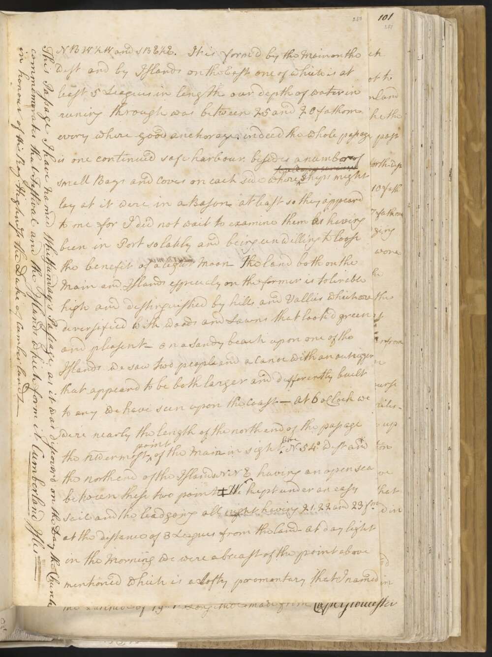
Monday 4th Winds at SSE and SE a gentle breeze and clear weather. In the PM steer'd thro' the passage which we found from 3 to 6 or 7 Miles broad and 8 or 9 Leagues in length NBW ½ W and SBE ½ E. It is form'd by the Main on the west and by Islands on the East one of which is at least 5 Leagues in length our depth of water in runing through was between 25 and 20 fathom every where good anchorage. indeed the whole passage is one continued safe harbour, besides a number of small Bays and Coves on each side where to all appearances Ships might lay as it were in a Bason, at least so they appeard to me for I did not wait to examine them as having been in Port so lately and being unwilling to loose the benefit of a light Moon
The land both on the Main and Islands especialy on the former is tolerable high and distinguished by hills and Vallies which are deversified with woods and Lawns that look'd green and pleasent — On a Sandy beach upon one of the Islands we saw two people and a Canoe with an outrigger that appeard to be both larger and differently built to any we have seen upon the Coast — At 6 oClock we were nearly the length of the north end of the passage the NWermost point of the Main in sight bore N. 54° West and the north end of the Islands NNE having an open sea between these two points‡ wWe kept under an easey Sail and the lead going all night having 21, 22 and 23 fm at the distance of 3 Leagues from the land —
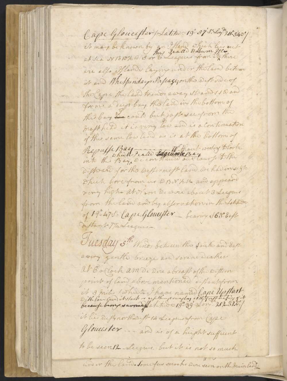
At day light in the Morning we were abreast of the point above mentioned which is a Lofty promontary that I named Cape Gloucester / Latitude 19°..57' So Longde 211°..54' Wt / it may be known by an Island which lies out at Sea NBW ½ W 5 or 6 Leagues from it this I calld Holburn Isle — There are also Islands Laying under the Land between it and Whitsundays Passage, on the west side of the Cape the land trends away SW and SSW and forms a deep bay, the land in the bottom of this bay we I could but just see from the Mast head it is very low and is a Continuation of the same low land as is at the bottom of Repulse Bay — wWithout waiting to look into this Bay which I call'd Edgcumbe Bay we continued our Course to the westward for the wester most land we had in sight which bore from us WBN ½ N and appeard very high — At Noon we were about 3 Leagues from the land and by observation in the Latitude of 19°..47' So Cape Gloucester — bearing S 63° East distant 7½ Leagues —
[‡] This passage I have named Whitsunday's Passage, as it was discoverd on the day the Church commemorates that Festival and the Isles which form it Cumberland Isles — in honour of His Royl Highness the Duke of Cumberland —
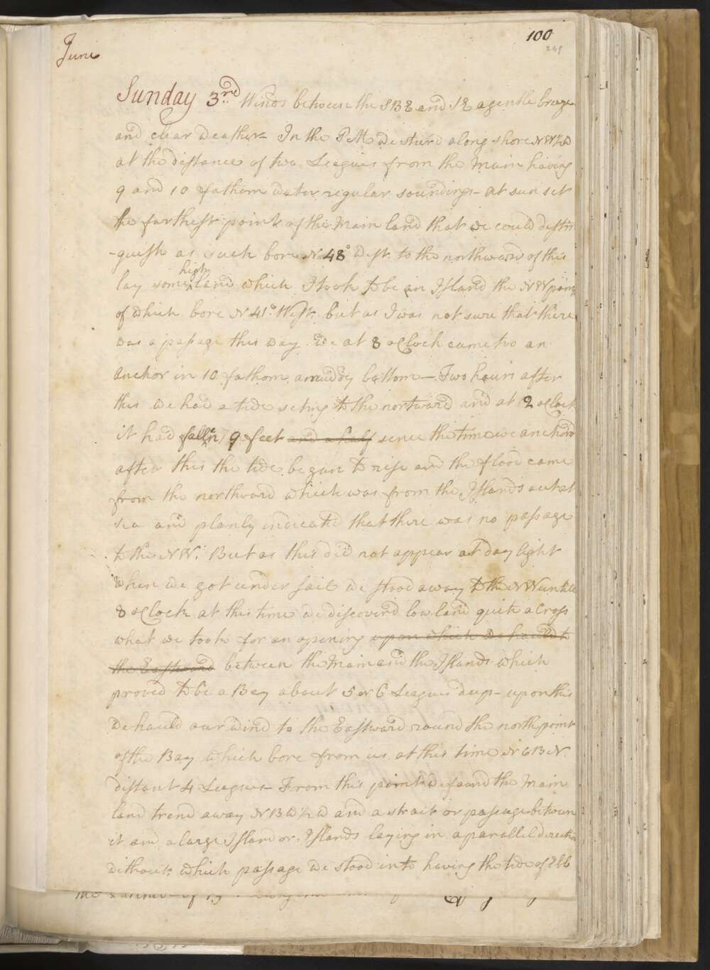
Sunday 3rd Winds between the SBE and SE A gentle breeze and clear weather — In the PM we steer'd along shore NW ½ W at the distance of two Leagues from the Main having 9 and 10 fathom water regular soundings — At sun set the farthest point of the Main land that we could distinguish as such bore N 48° West, to the northward of this lay some high land which I took to be an Island the NW point of which bore N 41° West, but as I was not sure that there was a passage this way we at 8 oClock came too an Anchor in 10 fathom a muddy bottom —
Two hours after this we had a tide seting to the nortward and at 2 oClock it had fell fallen 7 9 feet and a half sence the time we anchor'd After this the tide begun to rise and the flood came from the northward which was from the Islands out at Sea and planly indicated that there was no passage to the NW. But as this did not appear at day light when we got under sail we stood away to the NW untill 8 oClock, at this time we discoverd low land quite aCross what we took for an opening upon which we hauld to the Eastward between the Main and the Islands which proved to be a Bay about 5 or 6 Leagues deep — upon this we hauld our wind to the Eastward round the north point of the Bay which bore from us at this time NEBN distant 4 Leagues —
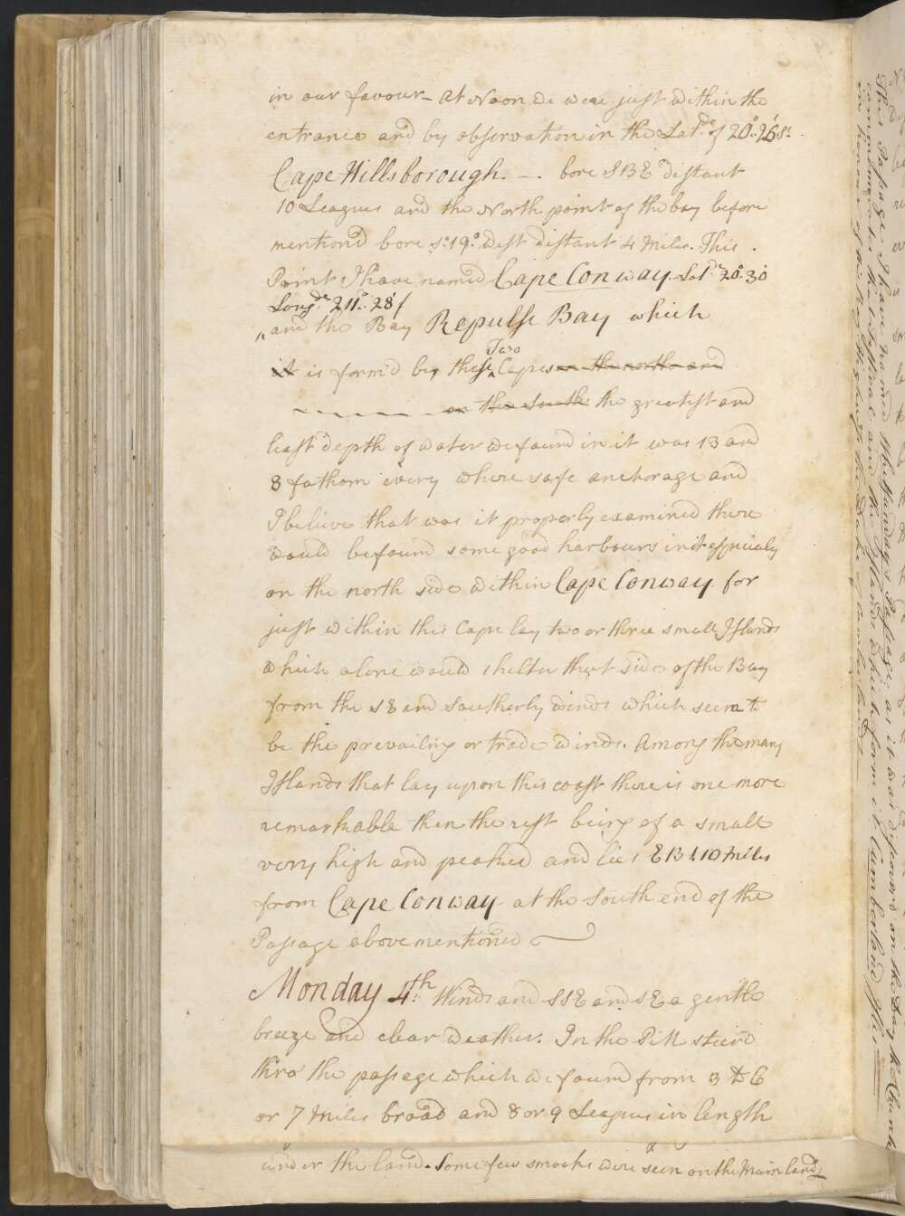
From this point we found the Main land trend away NBW ½ W and a strait or passage between it and a large Island or Islands laying in a parrallel direction without; which passage we stood into having the tide of Ebb in our favour — At Noon we were just within the entrance and by observation in the Latde of 20°..26' So Cape Hillsborough — bore SBE distant 10 Leagues and the North point of the bay before mentiond bore So 19° West distant 4 Miles.
This point I have named Cape Conway / Latde 20°..30' Longde 211°..28' / and the Bay Repulse Bay which it is form'd by these Two Capes on the north and on the South the greatest and least depth of water we found in it was 13 and 8 fathom every where safe anchorage and I believe that was it properly examined there would be found some good harbours in it especialy on the north side within Cape Conway, for just within this Cape lay two or three small Islands which alone would shelter that side of the Bay from the SE and Southerly winds which seem to be the prevailing or trade winds. Among the many Islands that lay upon this coast there is one more remarkable than the rest being of a small very high and peaked and lies EBS. 10 Miles from Cape Conway at the South end of the Passage above mentioned —
Saturday 2nd Winds at SSE and SE a gentle breeze, with which we stood to the NW and NWBN as the land lay under an easy sail having a boat ahead sounding; our soundings at first wasere very erregular from 9 to 4 fathoms, but afterwards regular from 9 to 11 fathom — At 8 oClock being about two Leagues from the Main Land we anchor'd in 11 fathom sandy bottom — soon after this we found a Slow motion of a tide seting to the westward —
At 1 oClock it was Slack or low water and at ½ past 2 oClock the Ship tended to the Eastward and rode so untill 6 at which time we anchor'd the tide had risen 11 feet, We now got under Sail and Stood away NNW as the land lay. From the observations made on the tides last night it is plain that the flood comes from the NW — whereas yesterday and for several days before we found it to come always from the SE. this is neither the first nor second time that we have observed the same thing and in my opinion easy accounted for but this I shall do in another place —
At Sun rise we found the Variation to be 6°..45' East. In steaering along shore between the Island and the Main at the distance of 2 Leagues from the latter and 3 or 4 from the former — our sounding were regular from 12 to 9 fathom but about a 11 oClock we wasere again embarrased with Shoal water but got clear without leting go an Anchor, we had at one time not quite 3 fathom.
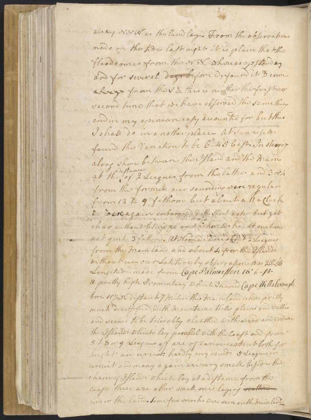
At Noon we were about 2 Leagues from the Main land and about 4 from the Islands without us — our Latitude by observation was 20°..56' Longitude made from Cape Palmerston 16° West A pretty high Promontary which I named Cape Hillsborough bore W ½ N distant 7 Miles — the Mainland is here pretty much deversified with Mountains, Hills plains and Vallies and seems to be tolerably cloathed with wood and Verdure the Islands which lay parallel with the Coast and from 5 to 8 or 9 Leagues off are of Various extent both for height and circuit, hardly any exceeds 5 Leagues in circuit and many again are very small besides this chain of Islands which lay at a distance from the coast there are other small ones laying scatterd under the land. Some few smooks were seen on the Mainland —
Friday June 1st At ½ an hour after noon upon the boat, which we had ahead sounding; makeing the Signal for Shoal water we hauld our wind to the NE having at that time 7 fathom, the next cast 5 and than 3 upon which we let go an Anchor and brought the Ship up. the NW point of Thirsty Sound or Pier head bore SE distant 6 Leagues being mid way between the the Islands which lies off the East point of the western Inlet and three Small Islands laying directly without them — it being now the first of the flood which we found to Set SEBE ½ E NWBW ½ W
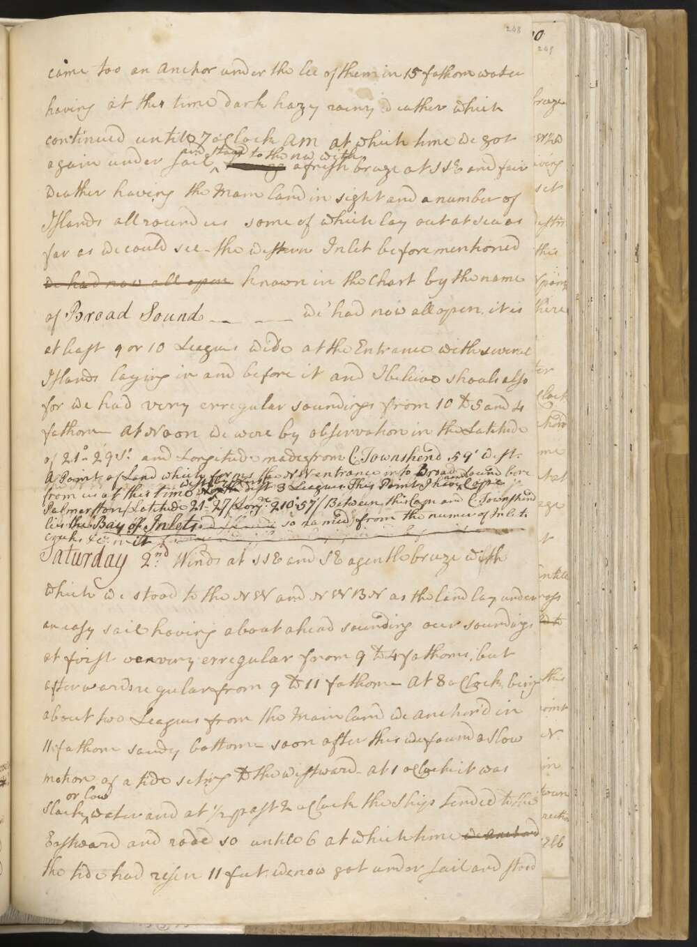
After having sounded about the Shoal on which we found not quite 3 fathom but without it deep water we got under sail and hauld round the three Islands just mentioned and came too an Anchor under the lee of them in 15 fathom water having at this time dark hazy rainy weather which continued untill 7 o'Clock AM At which time we got again under sail and Stood to the NW with a fresh breeze at SSE and fair weather having the Main land in sight and a number of Islands all round us some of which lay out at Sea as far as we could see —
the Western Inlet before mentioned we had now all open known in the Chart by the name of Broad Sound we had now all open, it is at least 9 or 10 Leagues wide at the Entrance with several Islands laying in and before it and I beleive shoals also for we had very erregular soundings from 10 to 5 and 4 fathom — At Noon we were by observation in the Latitude of 21°..29' So and Longitude made from C. Townshend 59' West. A Point of Land which forms the NW entrance into Broad Sound bore from us at this time North west by North dist 3 Leagues. This Point I have nam'd Cape Palmerston / Latitude 21°..27' Longde 210°..57' / Between this Cape and C. Townshend lies the Bay of Inlets, — so named from the Number of Inlets Creeks &Ca in it —
Explore more of Cook's Journal