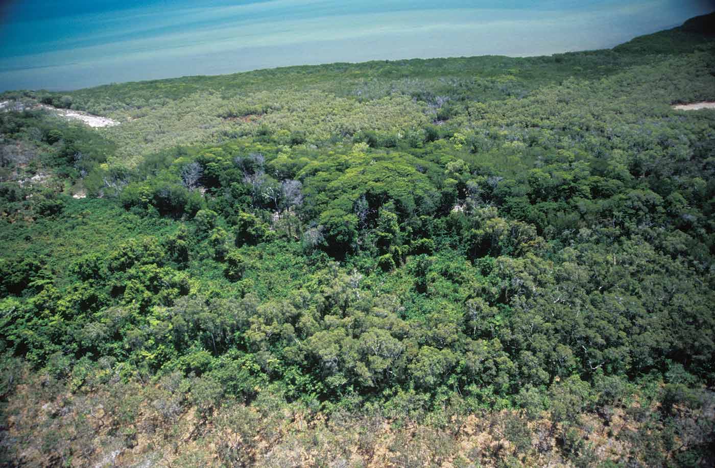
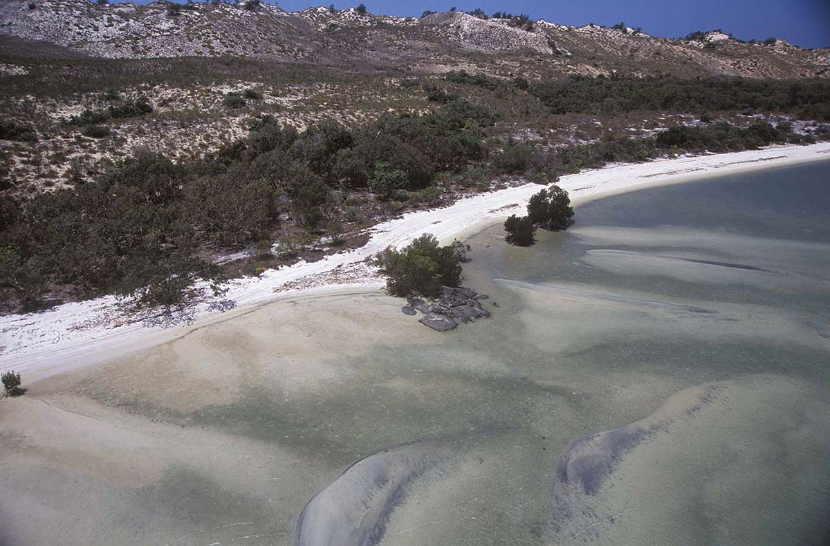
Central ridge of sand dunes on the Yalangbara peninsula. It was here that the Djang’kawu first gave birth and performed the Ngarra ceremony.
Exposed rock visited by the Djang’kawu and where they left their hair string and feathered belts.
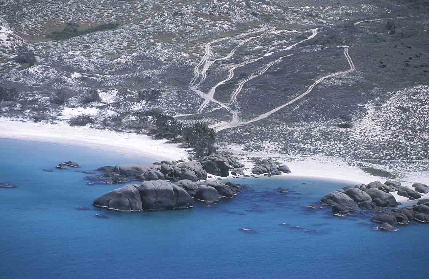
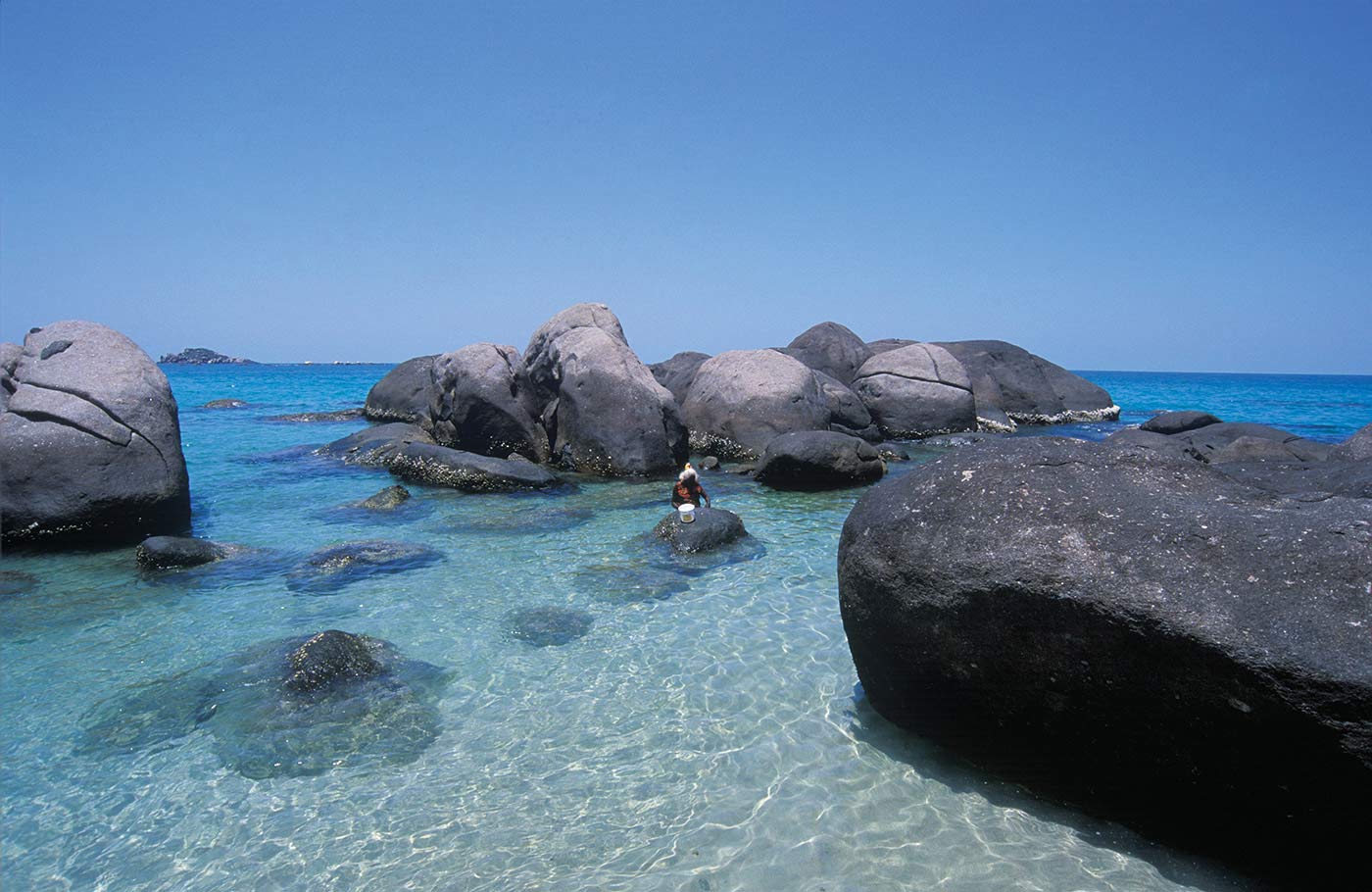
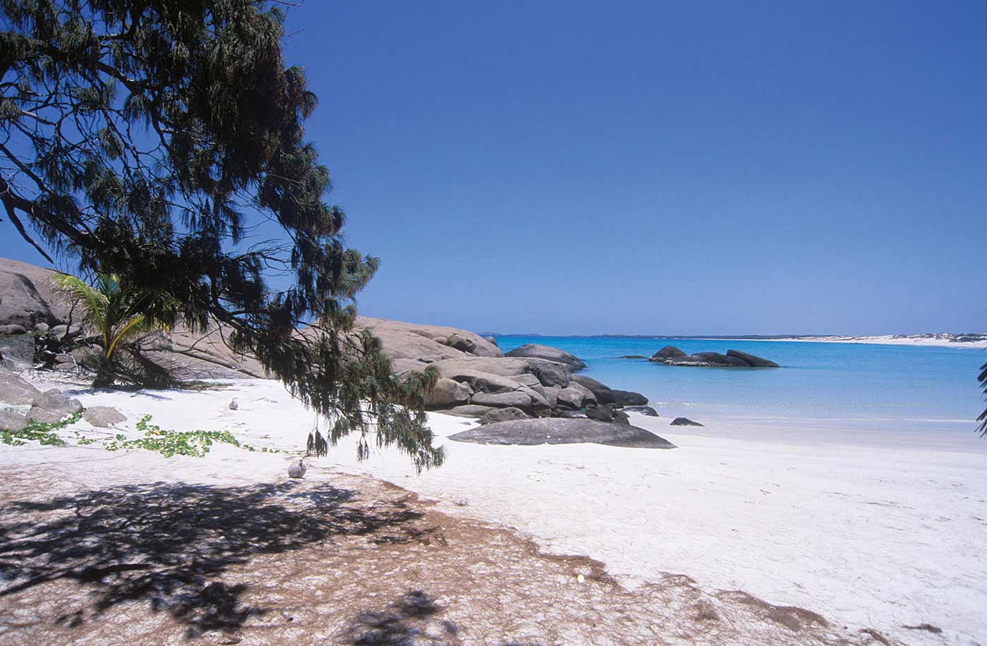
Exposed granite rocks on the beach, eastern Yalangbara coast. It was here that the clapsticks of the Djang’kawu turned into stone.
Prominent rocky hill on the western side of Laluwuy Bay. The Djang’kawu followed the thunder cloud that stood over this hill and created freshwater wells and djota trees here.
Swampy area where the Djang’kawu sighted and named the black flying fox.
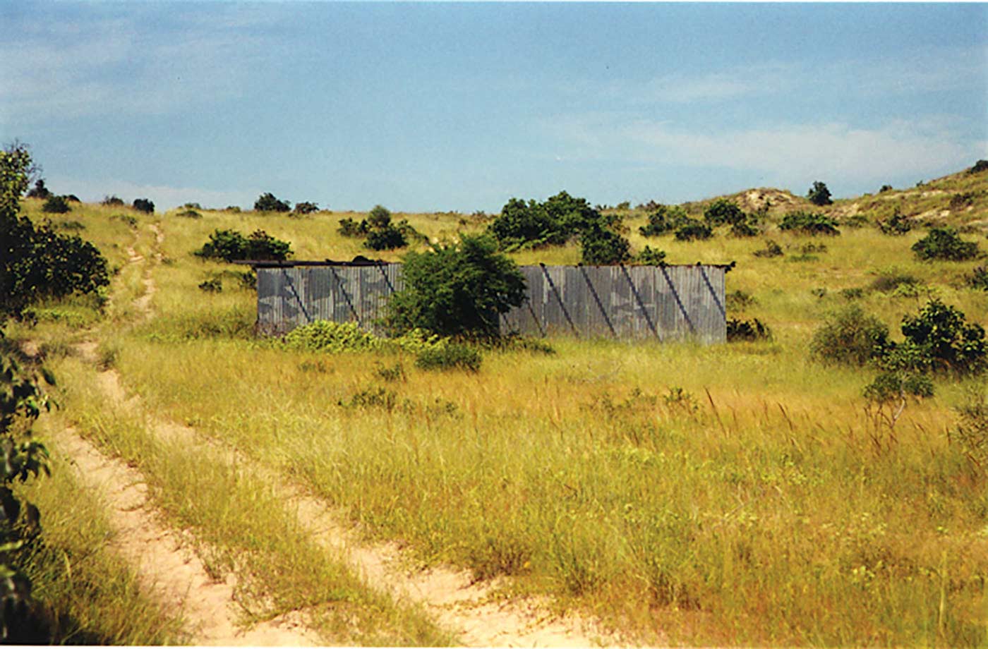
Former outstation behind the sand dunes, central Yalangbara peninsula. The Djang’kawu saw the Australian bustard and black flying foxes at this site.
Sand dune and rocky hill, central Yalangbara peninsula area, where the Djang’kawu first sighted and named the Australian bustard.
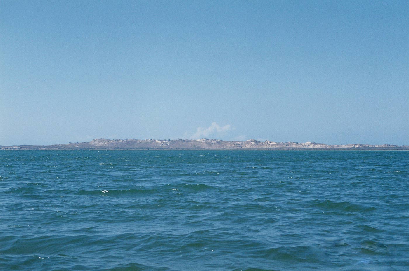
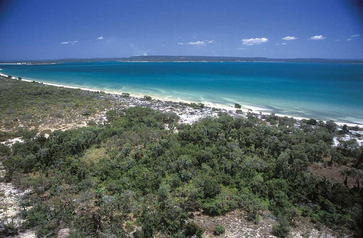
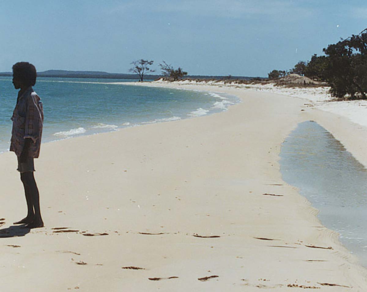
Also known as Seven Mile Beach, the Djang’kawu travelled along here and named the area.
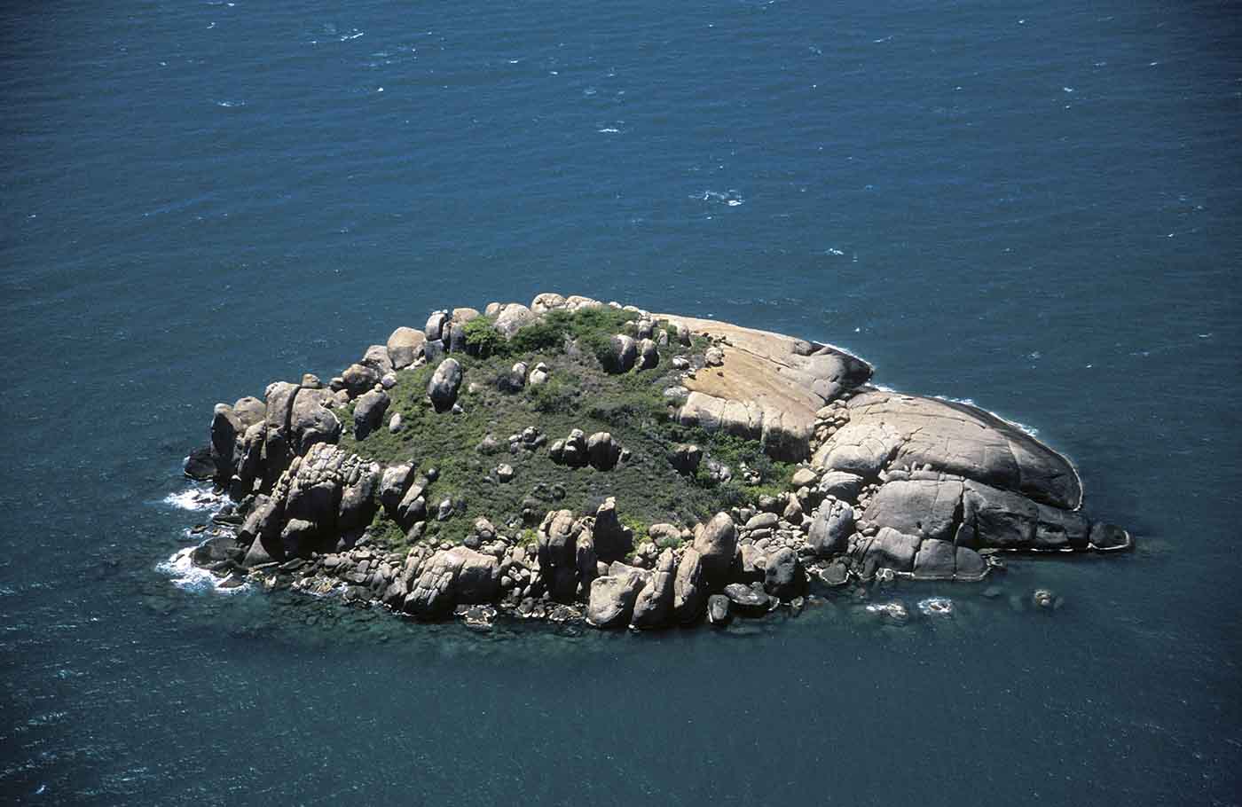
Rocky island visited by the Djang’kawu on their journey to the mainland. It was here they saw and named the rainbow lorikeets and sand goanna, and created a freshwater well.
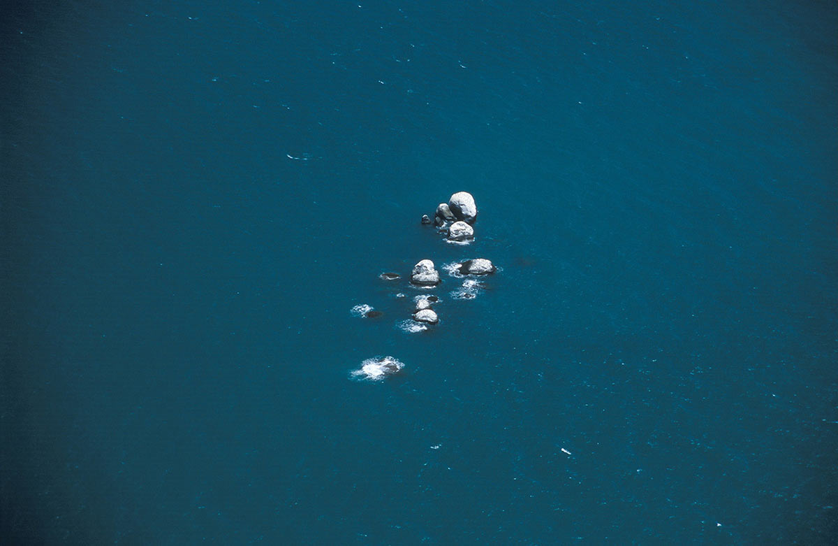
Exposed rock reef visited by the Djang’kawu on their journey to the mainland. It was here that they left their feathered baskets.
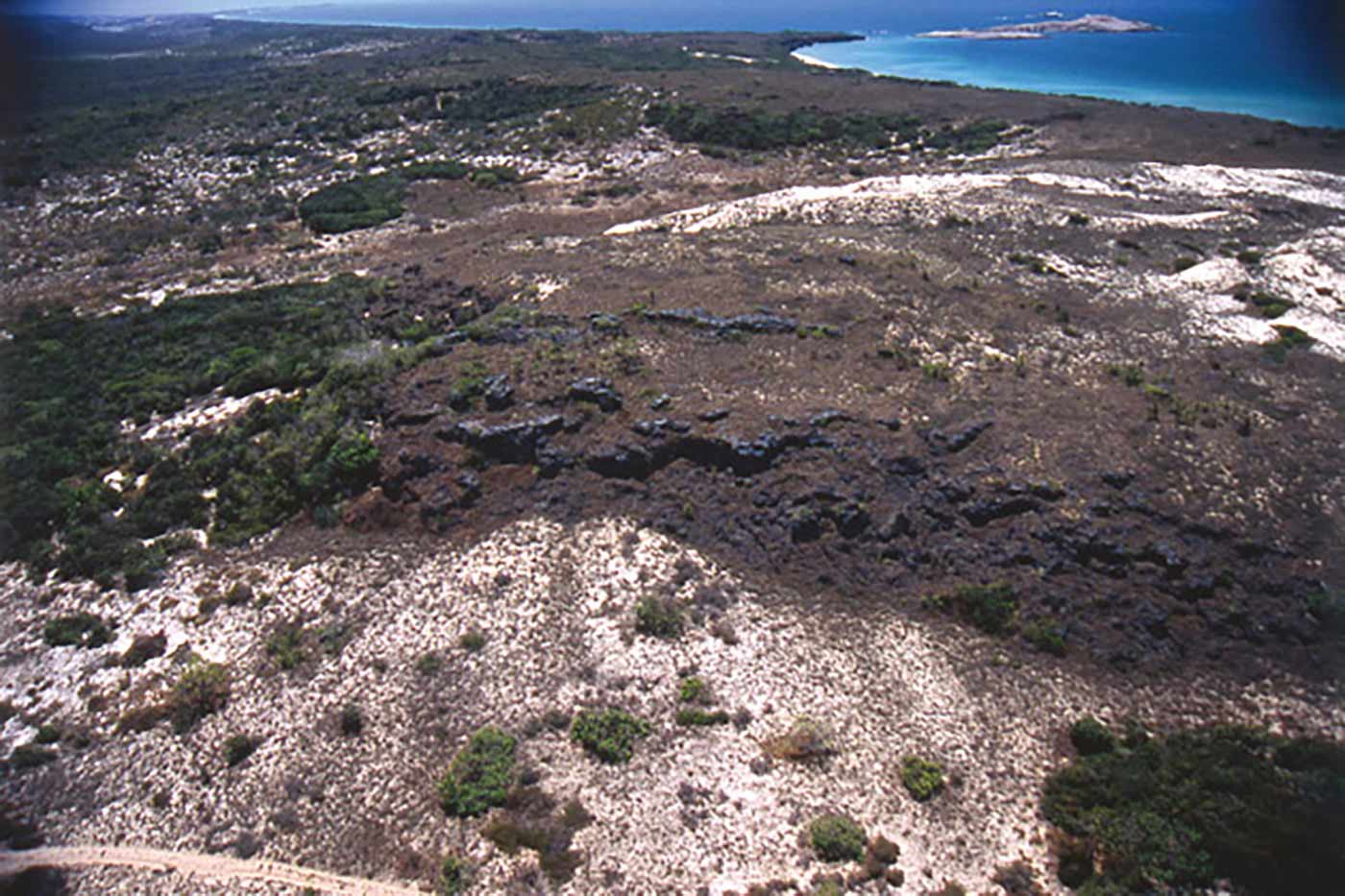
Sandy beach, inland on the central western side of the peninsula. The Djang’kawu created freshwater wells here. The term is also used to describe the entire western side of the peninsula, in contrast to the eastern, sunrise side.
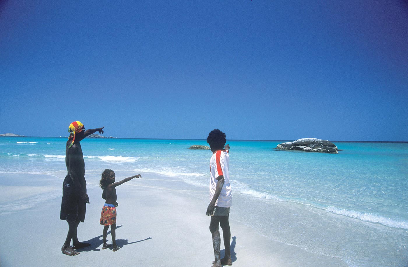
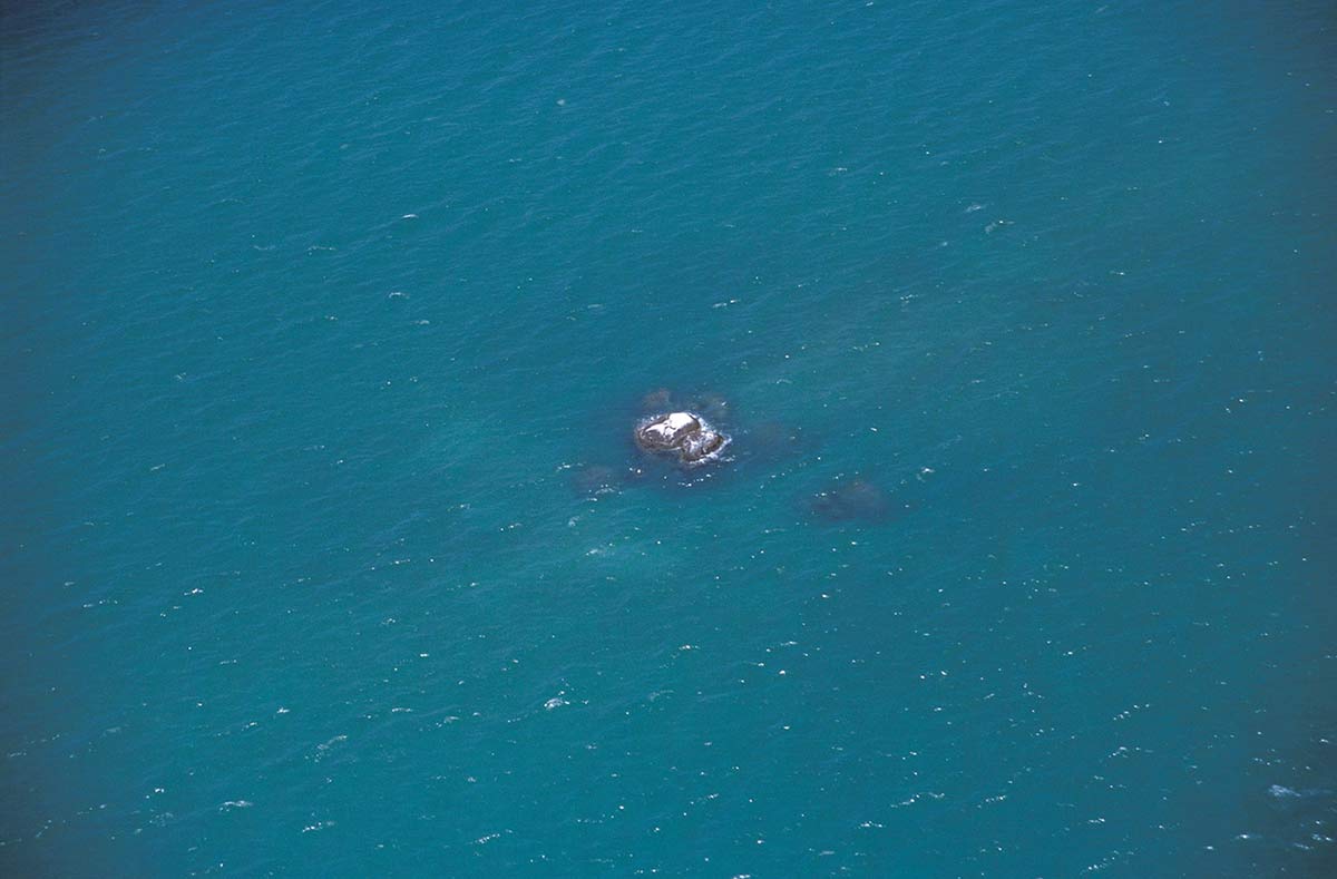
Single granite rock offshore near the Yalangbara beach that represents the canoe of the Djang’kawu.
Exposed granite rocks offshore and abutting the mainland at the northern end of Yalangbara beach.
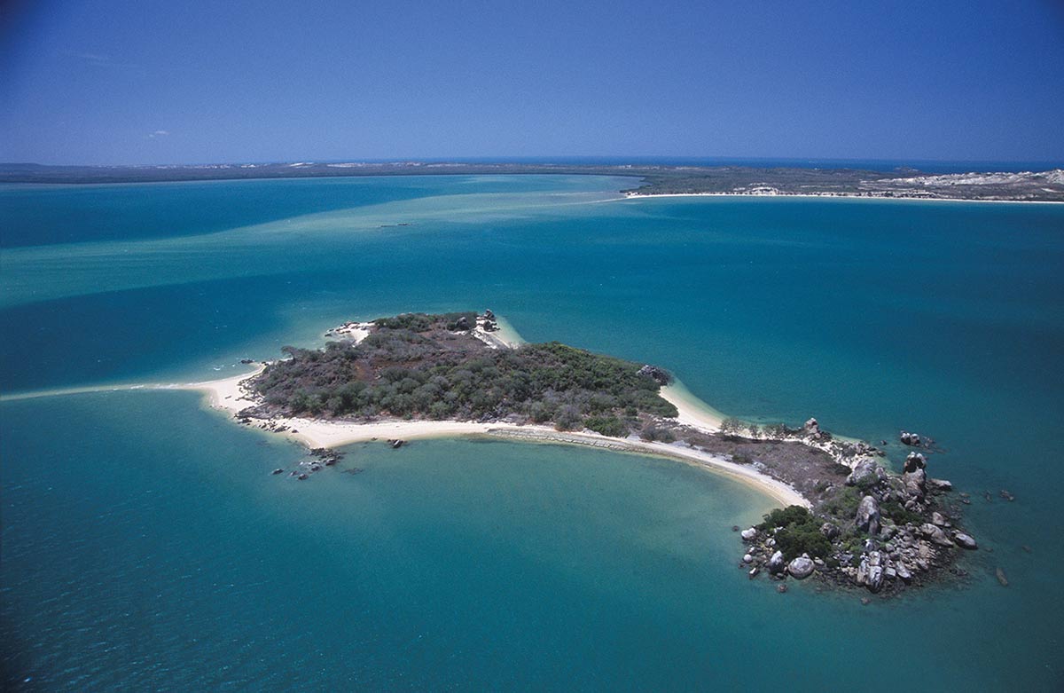
Rocky island in Lalawuy Bay near Wapilina, represents the sisters’ conical mat, a symbol of their fertility.
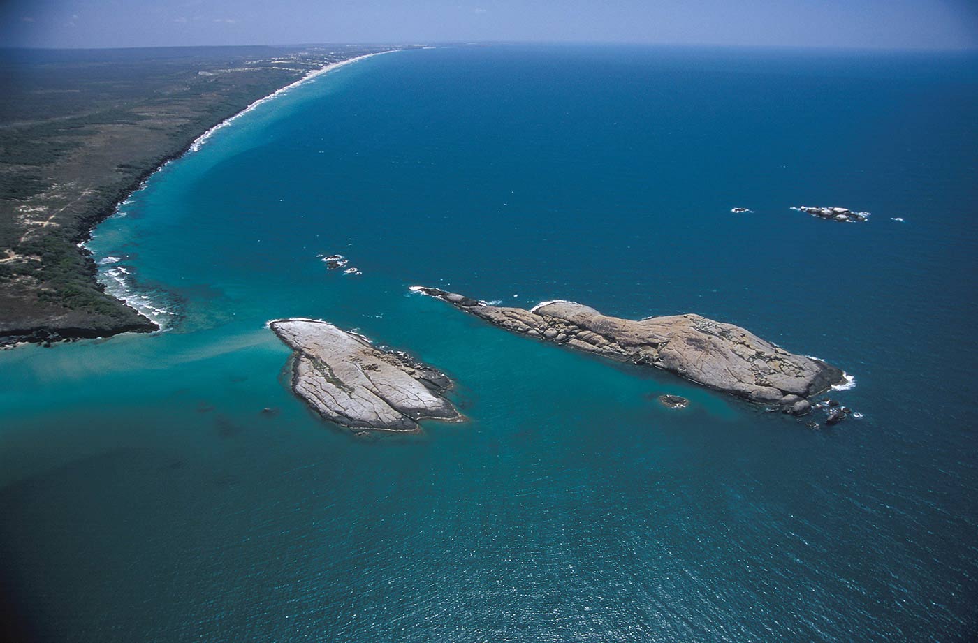
Granite islands and mainland cliffs. There are two large islands here that represent the clapsticks of the Djang’kawu. In between there is an underwater freshwater well.
Vegetated granite island in Lalawuy Bay. It was here that the Djang’kawu encountered the Yirritja moiety Bayini who were processing trepang. This is also an important Macassan archaeological site.
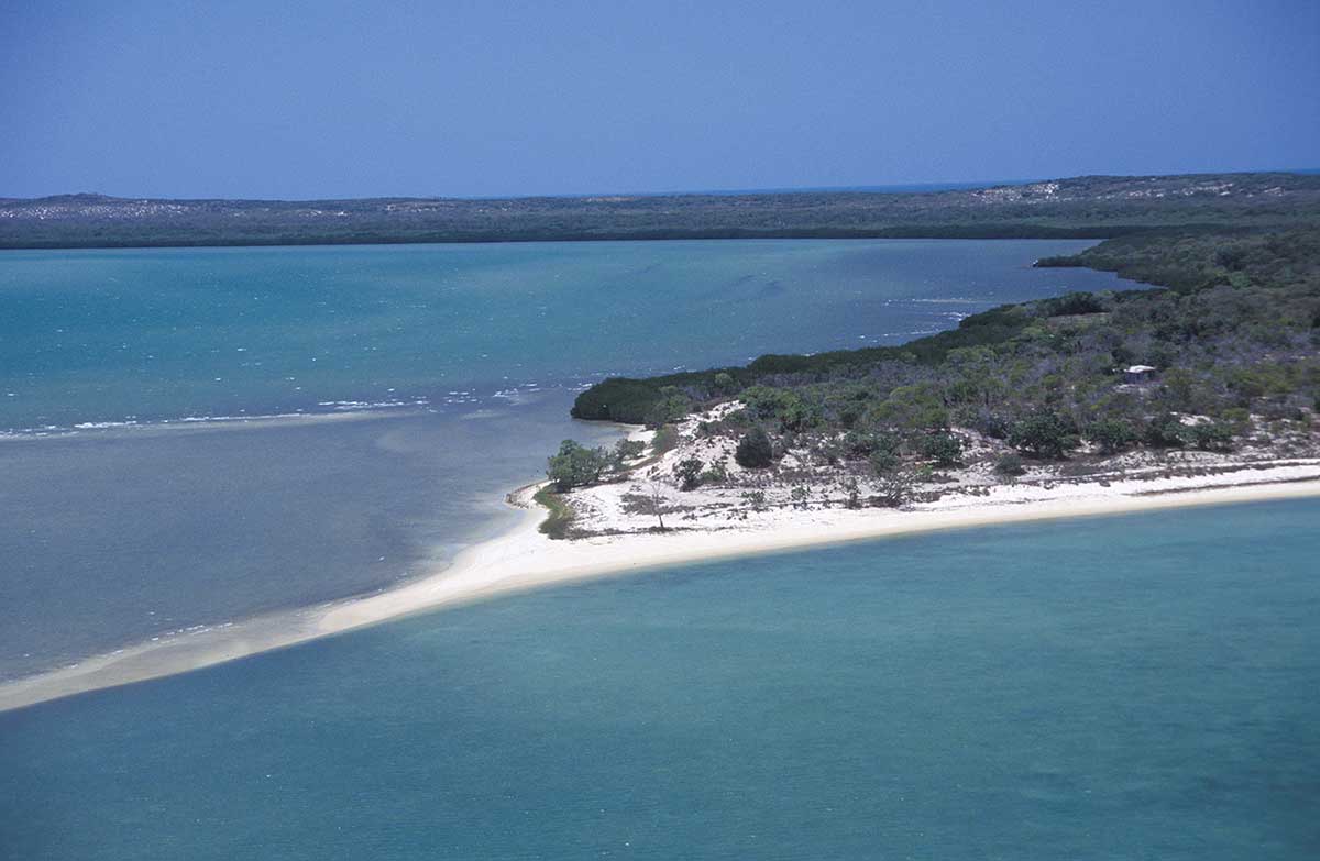
Sandy spit with a single casuarina tree that represents the walking stick of the Djang’kawu.
Exposed rock reef where the Djang’kawu left their feathered armbands on their journey to the mainland.
In this context the name refers to the specific beach where the Djang’kawu landed after their sea journey. Here they created freshwater wells and casuarina trees.